
We use cookies to improve the Bookmate website experience and our recommendations.
To learn more, please read our Cookie Policy.
To learn more, please read our Cookie Policy.
Accept All Cookies
Cookie Settings
Something went wrong. Try again.

Read in our apps:
iOS
·Android
Jeremy Black
Maps of War
Notify me when the book’s added
Impression
Add to shelf
Already read
Report an error in the book
Share
Facebook
Twitter
Copy link
To read this book, upload an EPUB or FB2 file to Bookmate. How do I upload a book?
- About
- Readers1
- Related books
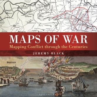
There is little documented mapping of conflict prior to the Renaissance period, but, from the 17th century onwards, military commanders and strategists began to document the wars in which they were involved and later, to use mapping to actually plan the progress of a conflict. Using contemporary maps, this sumptuous new volume covers the history of the mapping of war on land and shows the way in which maps provide a guide to the history of war. Content includes:The beginnings of military mapping up to 1600 including the impact of printing and the introduction of gunpowderThe seventeenth century: The focus is on maps to illustrate war, rather than as a planning tool and the chapter considers the particular significance of maps of fortifications.The eighteenth century: The growing need for maps on a world scale reflects the spread of European power and of transoceanic conflict between Europeans. This chapter focuses in particular on the American War of Independence.The nineteenth century: Key developments included contouring and the creation of military surveying. Subjects include the Napoleonic Wars and the American Civil WarThe twentieth century including extended features on the First and Second World Wars including maps showing trench warfare and aerial reconnaissance. Much of the chapter focuses on the period from 1945 to the present day including special sections on the Vietnam War and the Gulf Wars.
more
This book is currently unavailable
379 printed pages


Have you already read it? How did you like it?
👍👎

fb2epub
Drag & drop your files
(not more than 5 at once)