Want to design a 3D plan to create a recreational park, a tree climbing course, a house?
Do you need a preliminary draft of a terrain to draw 3-dimensional plans and make your dream come true?
You do not have the means or the desire to call on professionals and want to take the measurements by yourself?
Discover a simple step-by-step,, which will allow you to take the necessary steps: you will need a compass, a clinometer and a some material.
You will learn how to use the SketchUp Make software basic functions in order to create a cloud of points and a terrain with textures for an optimal 3D optimal rendering.
Discover easy and cheap little books that will help you bring Nature into your daily life!
We have more than a decade of experience in the design and construction of acrobatic tree climbing structures. We have developed a simple method that will allow you to get good quality 3D plans :-)
We want to share with you our useful knowledge and tips that will help you make significant savings.
You will discover useful little handbooks, always at your fingertips :-)
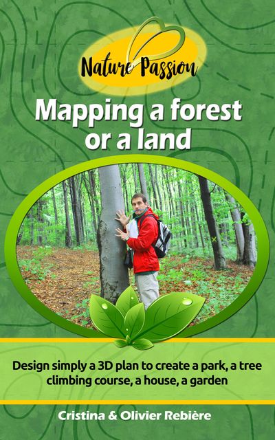
N°10 - Mapping a forest or a land
In this issue we will see how to map trees or stakes spread over a sloping terrain and transcribe this “cloud of points” on a free 3D modeling software.
What will you find within this “ Nature Passion”?
Notions of geometry and polar coordinates
List of needed equipment
Complete methodology (illustrations and tables)
Introduction to using the SketchUp software
Creating simple textures
So, are you ready to map your land by yourself?
Let's go!
Kind regards,
Cristina & Olivier Rebiere