What is Mobile Mapping
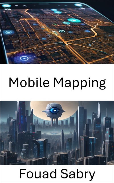
Mobile mapping is the process of collecting geospatial data from a mobile vehicle, typically fitted with a range of GNSS, photographic, radar, laser, LiDAR or any number of remote sensing systems. Such systems are composed of an integrated array of time synchronised navigation sensors and imaging sensors mounted on a mobile platform. The primary output from such systems include GIS data, digital maps, and georeferenced images and video.
How you will benefit
(I) Insights, and validations about the following topics:
Chapter 1: Mobile mapping
Chapter 2: Digital elevation model
Chapter 3: Image analysis
Chapter 4: Photogrammetry
Chapter 5: Geoinformatics
Chapter 6: 3D scanning
Chapter 7: Georeferencing
Chapter 8: GDAL
Chapter 9: SOCET SET
Chapter 10: ILWIS
(II) Answering the public top questions about mobile mapping.
(III) Real world examples for the usage of mobile mapping in many fields.
Who this book is for
Professionals, undergraduate and graduate students, enthusiasts, hobbyists, and those who want to go beyond basic knowledge or information for any kind of Mobile Mapping.